Highway 16 east road conditions and closures
Yellowhead Highway, from Prince George to McBride, Tête Jaune Cache and Jasper: closures, incidents and roadwork from DriveBC, with highway cameras and road weather along the way.
DriveBC reports no closures on Highway 16 east right now.
Also in effect: 2 roadwork.
Conditions change fast. DriveBC is the official source: drivebc.ca, or 1-800-550-4997.
DriveBC events on Highway 16 east
Roadwork and maintenance (2)
Roadwork
Bridge maintenance from Goat River East Pit Road to Lamco Road
Westbound · 156 km from Prince George · updated Sep 23, 1:32 p.m.
DriveBC details
Bridge maintenance from Goat River East Pit Road to At Lamco Road. Starting Wed Sep 23. Single lane alternating traffic. Watch for traffic control. Expect minor delays. Use caution when passing crew and equipment on highway.
Roadwork
Utility work from McBride Highway 16 E, at Small River Road and Rest Area and 47km Southeast of McBride to Holmes River Bridge
210 km from Prince George · updated Sep 23, 3:42 p.m.
DriveBC details
Utility work from McBride Highway 16 E, At Small River Road and Rest Area and 47km Southeast of McBride to At Holmes River Bridge. Starting Wed Sep 23 until Fri Oct 23. Lane blocked. Single lane alternating traffic. Watch for traffic control.
DriveBC mapDriveBC delaysDriveBC advisoriesCity street closures
Source: DriveBC road events (BC Ministry of Transportation and Transit). Report a data problem
Highway 16 east cameras
Nearest to Prince George first. Images are DriveBC’s, refreshed every few minutes; tap one for the full view and replay.
Bowron River
49 km from Prince George
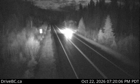
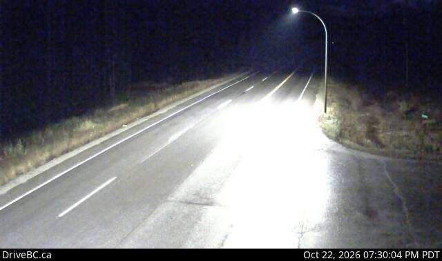
Crescent Spur
141 km from Prince George
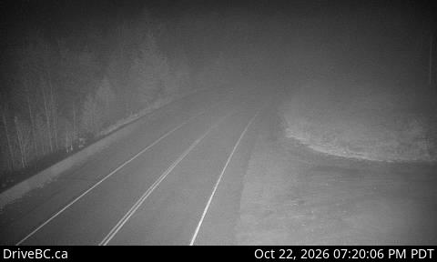
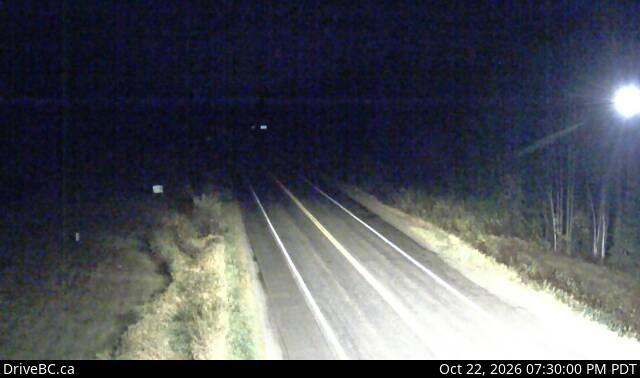
Dunster Station Road
211 km from Prince George
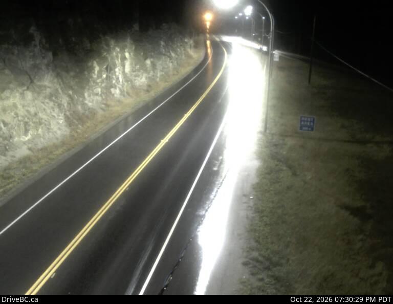
Tete Jaune Cache
244 km from Prince George
Red Pass
264 km from Prince George
BC-Alberta Border
306 km from Prince George
Source: DriveBC highway cameras (BC Ministry of Transportation and Transit).
Mountain pass forecast
Tête Jaune Cache to the Alberta Border
Yellowhead Highway · issued Oct 22, 4:00 p.m.
- Tonight
- Periods of rain changing to periods of snow this evening. Snow level 1500 metres lowering to valley bottom after midnight. Local snowfall amount 2 cm.
- Friday
- Mainly cloudy with 30 percent chance of flurries early in the morning. Clearing late in the morning.
- Friday night
- A few clouds. Increasing cloudiness near midnight. Wind up to 15 km/h.
Source: Environment and Climate Change Canada high elevation forecasts, via DriveBC.
Road weather stations
Readings from the Ministry of Transportation and Transit’s stations beside the highway, nearest to Prince George first.
| Station | Air | Road | Pavement | Reading |
|---|---|---|---|---|
| Slim CreekNorth side of Hwy 16, 400 m east of Slim Creek Rest Area | 4 °C | 5 °C | Wet | Oct 22, 5:00 p.m. |
| West Twin CreekSouth side of Hwy 16, 500 m East of West Twin Creek Bridge | 2 °C | 4 °C | Wet | Oct 22, 5:00 p.m. |
| Robson RoadsideN side of Hwy 16 in Red Pass, East of the Overlander Rest Area | 2 °C | 4 °C | Wet | Oct 22, 5:00 p.m. |
| YellowheadN side of Hwy 16, 1 km W of Alberta Border. | 5 °C | 5 °C | Wet | Oct 22, 5:00 p.m. |
Source: DriveBC road weather stations (BC Ministry of Transportation and Transit).
Before you drive
Winter tires: Signed highways need winter tires or chains on board October 1 to April 30; some highways outside mountain passes or high-snowfall areas end March 31. Province of BC
Distances are straight-line from the centre of Prince George. Events, cameras and road weather are DriveBC’s own data, refreshed every 10 to 15 minutes; we add nothing to them.
