Highway 27 road conditions to Fort St. James
Stuart Lake Highway, from Prince George to Fort St. James: closures, incidents and roadwork from DriveBC, with highway cameras and road weather along the way.
DriveBC reports no closures on Highway 27 right now.
Also in effect: 1 incident.
Conditions change fast. DriveBC is the official source: drivebc.ca, or 1-800-550-4997.
DriveBC events on Highway 27
Incidents (1)
Incident
Geotechnical investigation from Highway 27 N, in Fort Street James and at Tachie Road to 10km Northeast of Fort Street James
112 km from Prince George · updated Nov 3, 11:48 a.m.
DriveBC details
Geotechnical investigation from Highway 27 N, In Fort Street James and At Tachie Road to 10km Northeast of Fort Street James. Closed at the 1.7 kilometer mark. Detour in Effect using the Takla Road to Teardrop Forest Service Road.
Planned, not started yet (1)
RoadworkStarts Nov 27, 6:55 p.m.
Special event from Stuart Drive W, in Fort Street James to Fort Street James
115 km from Prince George · updated Oct 26, 9:40 a.m.
DriveBC details
Special event from Stuart Drive W, In Fort Street James to In Fort Street James. Starting 6:55 PM MST on Friday November 27, 2026 until 8:00 PM MST on Friday November 27, 2026. Watch for traffic control. Santa Clause Parade.
DriveBC mapDriveBC delaysDriveBC advisoriesCity street closures
Source: DriveBC road events (BC Ministry of Transportation and Transit). Report a data problem
Highway 27 cameras
Nearest to Prince George first. Images are DriveBC’s, refreshed every few minutes; tap one for the full view and replay.
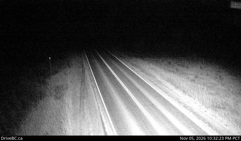
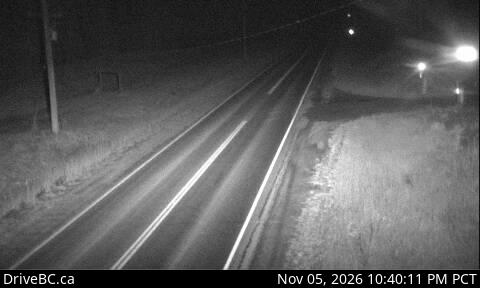
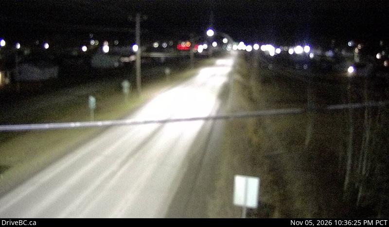
Source: DriveBC highway cameras (BC Ministry of Transportation and Transit).
Forecast along the way
Environment Canada’s forecast for the towns on this route, nearest to Prince George first.
Vanderhoof83 km
- Tonight · low 4°
- Cloudy with 30 percent chance of showers. Rain beginning before morning. Wind south 20 km/h gusting to 40 increasing to 40 gusting to 60 this evening. Low plus 4.
- Friday · high 6°
- Rain. Amount 10 mm. Wind south 30 km/h gusting to 50 becoming southwest 50 gusting to 80 late in the afternoon. High 6.
- Friday night · low -2°
- Showers ending in the evening then clearing. Wind southwest 50 km/h gusting to 80 becoming light in the evening. Low minus 2.
Issued Nov 5, 4:00 p.m.
Source: Environment and Climate Change Canada city page forecasts.
Road weather stations
Readings from the Ministry of Transportation and Transit’s stations beside the highway, nearest to Prince George first.
| Station | Air | Road | Pavement | Reading |
|---|---|---|---|---|
| Spencer PitNortheast side of Hwy 27 at Spencer Pit | 7 °C | 4 °C | Dry | Nov 5, 9:00 p.m. |
Source: DriveBC road weather stations (BC Ministry of Transportation and Transit).
Before you drive
Winter tires: Signed highways need winter tires or chains on board October 1 to April 30; some highways outside mountain passes or high-snowfall areas end March 31. Province of BC
Other highways out of Prince George
- Highway 16 west to Vanderhoof, Burns Lake, Smithers, Terrace and Prince Rupert
- Highway 16 east to McBride, Tête Jaune Cache and Jasper
- Highway 97 north to Mackenzie junction, Pine Pass, Chetwynd and Dawson Creek
- Highway 97 south to Quesnel, Williams Lake, 100 Mile House and Cache Creek
- Highway 26 to Wells and Barkerville
- Highway 39 to Mackenzie
Distances are straight-line from the centre of Prince George. Events, cameras and road weather are DriveBC’s own data, refreshed every 10 to 15 minutes; we add nothing to them.
