Prince George neighbourhoods: a guide to the city’s areas
A guide to Prince George neighbourhoods: Downtown, the Crescents, the VLA, College Heights, the Hart, South Fort George, Miworth and Blackburn.
Updated
At a glance
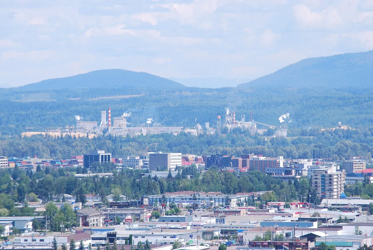
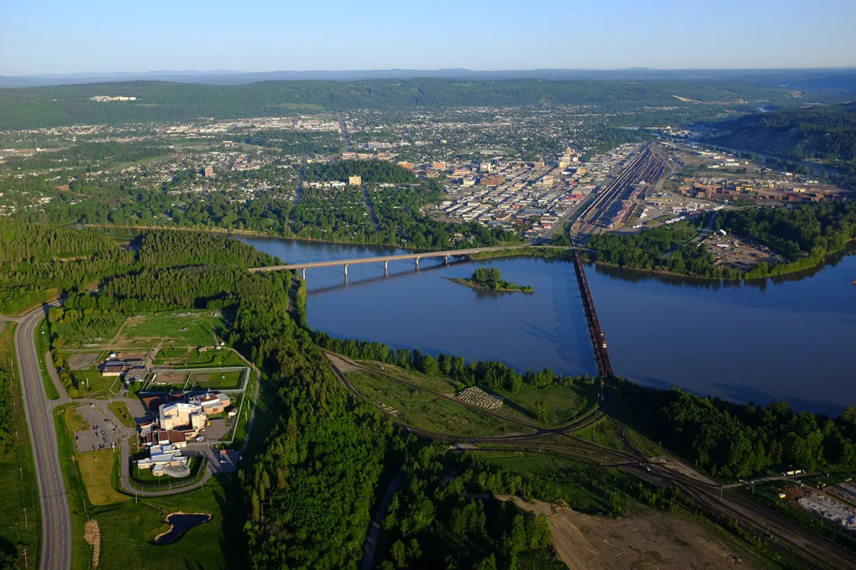
- Most of the older city lies in ‘the bowl’, the flat valley where the Fraser and Nechako meet.
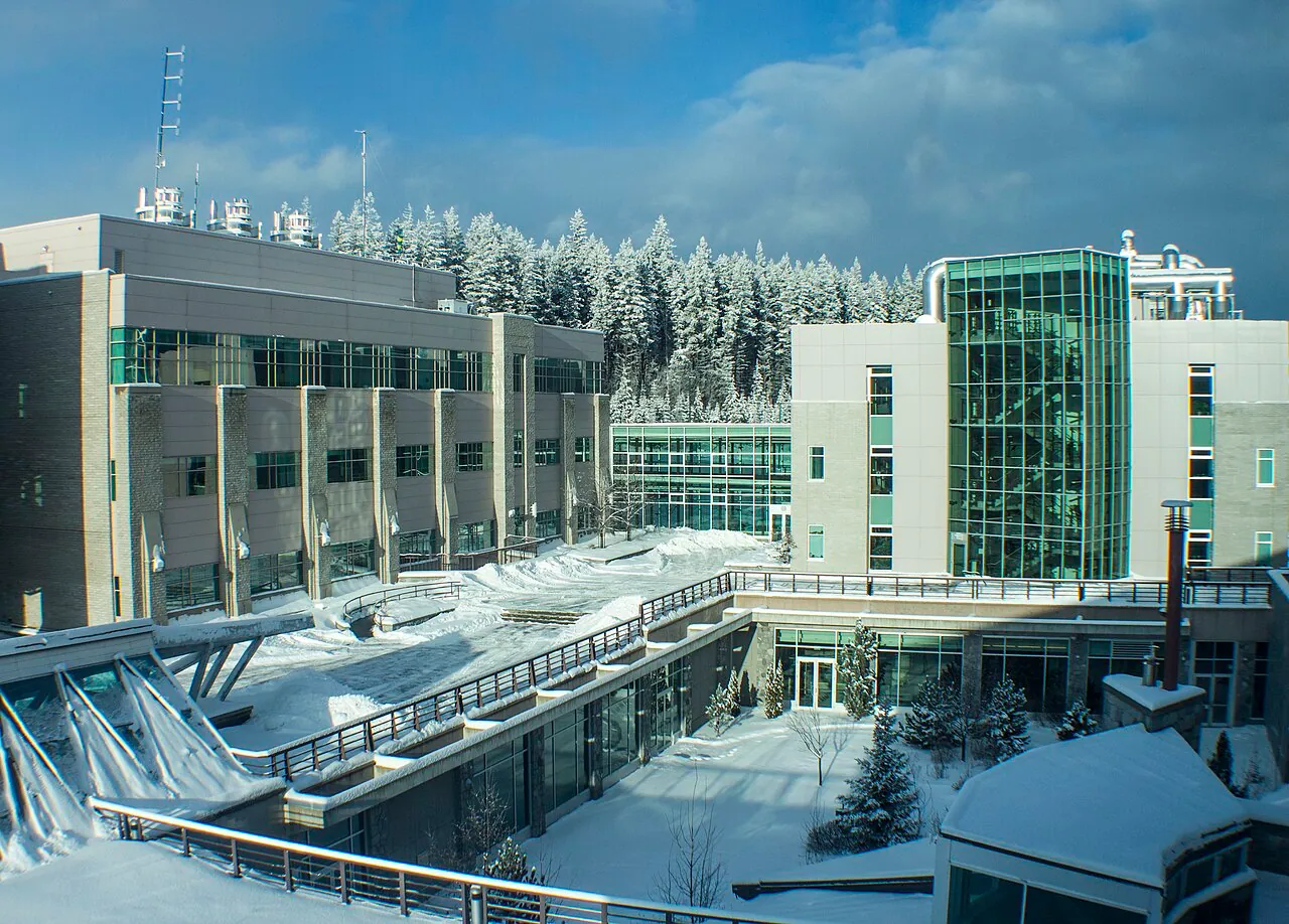
- College Heights and the University Heights area sit on the plateau to the southwest, near UNBC.
- The Hart, north across the Nechako, is a large family-oriented area that joined the city in the 1970s.
- South Fort George, Millar Addition and Central Fort George trace back to the 1909–1914 railway boom.
- Rural areas such as Miworth, Blackburn, Beaverly, Pineview and Chief Lake offer acreage living minutes from town.
Prince George grew from several separate settlements and later absorbed surrounding rural areas, so it has a patchwork of distinct neighbourhoods. Locals often divide the city into the bowl (the valley floor), College Heights (up the hill to the southwest) and the Hart (north across the Nechako), with rural areas all around.
This is a quick orientation, not a real-estate guide. Descriptions are general and every area has a mix of housing.
Central areas in the bowl
Downtown. The railway townsite laid out in 1913, with a grid of numbered avenues rotated toward the river. It is home to City Hall, the courthouse, the main library, Two Rivers Gallery, the Civic Centre, Canada Games Plaza and many restaurants, pubs and cafés, plus a mix of apartments and older homes.
The Crescents. A small historic area near downtown and Connaught Hill, known for curving streets and some of the city’s older character homes.
Millar Addition. One of the original boom-era districts, created from 200 acres the railway gave Charles Vance Millar in 1913. It has mature trees and older homes, bordered by parks and the river.
VLA. Short for Veterans’ Land Act. The area was laid out after the Second World War to house returning soldiers. It is close to downtown and known as one of the city’s more affordable areas.
Central Fort George. George Hammond’s 1909 townsite on the Nechako, which joined the city in 1953. Today it is a central, established area with homes from the 1950s onward and good access to the Nechako riverbank.
South Fort George. The oldest settled part of the city, beside the old Hudson’s Bay post and Lheidli T’enneh Memorial Park. Sternwheelers once landed here. It stayed separate until the 1970s and still has a village feel near the Fraser.
West Bowl, Seymour and Van Bow. Established residential areas filling the west and central valley floor, with schools, parks and quick access to downtown.
Spruceland. A mid-century neighbourhood built during the 1960s pulp-mill boom, home to the Spruceland shopping centre and many family homes.
Lakewood and Perry. Other 1960s-era subdivisions from the same growth spurt, now established neighbourhoods with schools and parks.
Up the hill: College Heights and the southwest
College Heights. The large southwest area on the plateau above the bowl, with curving streets named after colleges and universities. It has big-box shopping, restaurants, schools and quick access to Highway 16 west.
University Heights. Newer development near UNBC with modern family homes.
Heritage and Westwood. Established neighbourhoods between the bowl and College Heights, with newer townhouses and seniors’ housing mixed in.
Southwest and Cranbrook Hill. From starter homes to large properties, with Cranbrook Hill offering rural lots, views and access to the Forests for the World and UNBC trail networks.
North of the Nechako
Hart Highlands and Central Hart. A large, family-oriented area on the plateau north of the Nechako, reached by Highway 97 or the Foothills Boulevard bridge. It joined the city in the mid-1970s. It has its own ski hill, a golf course, shopping and the Nechako branch of the public library.
Austin Road, East and West. Growing residential areas near the Hart with newer subdivisions.
North Nechako and Nechako Bench. Neighbourhoods on river terraces along North Nechako Road, including some larger executive homes with views of the river valley.
Foothills. The area along Foothills Boulevard at the base of Cranbrook Hill, linking the bowl to the Nechako crossings.
East and south
Fraserview and Lansdowne. Areas on the banks of the Fraser, with big-box shopping nearby.
Van Bien. An established neighbourhood known locally for its festive holiday light displays.
Blackburn. A semi-rural area southeast of the city near the airport, with larger lots and acreages about ten minutes from downtown.
Pineview. A largely rural area to the south along Highway 97, brought into the city in the mid-1970s.
Rural edges
Miworth. A small rural community on the Nechako River about 16 km northwest of the city, named during Grand Trunk Pacific construction and once linked to the north shore by a river ferry.
Beaverly. Rural residential land to the west of the city, with acreages and forest. Archaeological evidence of Lheidli T’enneh fishing camps has been found in the area.
Chief Lake and Old Summit Lake. Rural areas at the northern edge of the region, popular with people who want space, forest and lakes close at hand.
Shelley. Upriver on the Fraser to the northeast, home to a Lheidli T’enneh community since 1913.
Getting around
The city’s bus system, operated by BC Transit, connects downtown with College Heights, UNBC, the Hart and other areas. Most neighbourhoods are 10 to 20 minutes’ drive from downtown. See getting here and around.
Related
Common questions
What is ‘the bowl’ in Prince George?
The bowl is the broad, flat river valley that holds downtown and many older neighbourhoods. It was carved by the Fraser and Nechako rivers after the last ice age. Neighbourhoods on the surrounding hills and plateau are said to be ‘up the hill’.
How are streets named in the bowl?
In much of the bowl, north–south streets are named after early citizens in alphabetical order, from Alward Street near downtown to Ruggles Street in the west, while east–west avenues are numbered from 1st Avenue in the north to 22nd Avenue in the south. Downtown uses its own rotated grid with numbered avenues.
What does VLA stand for?
Veterans’ Land Act. The neighbourhood was developed after the Second World War to provide homes for returning veterans.
Which areas are closest to UNBC?
College Heights, University Heights and the southwest neighbourhoods on the plateau are closest, with Westwood, Heritage and Lakewood a short drive or bus ride away.
